✨ New Arrivals Just Dropped!Explore
Edinburgh Pocket Map
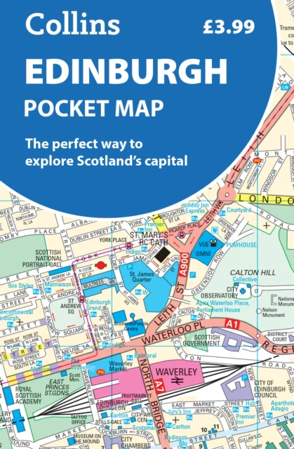
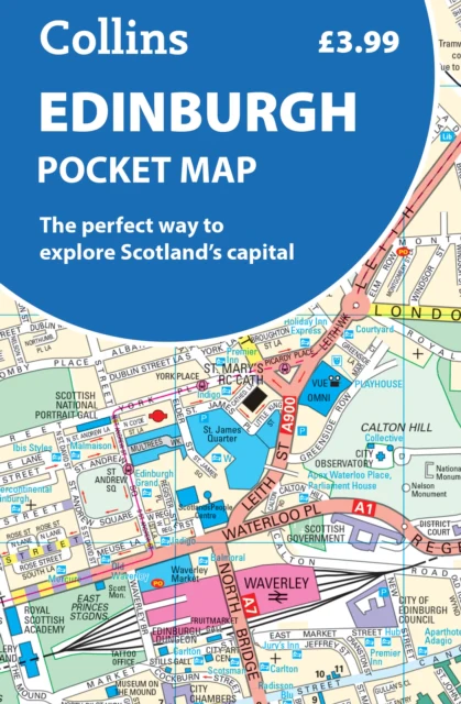
Explore new places with handy pocket maps from Collins.Handy little full-colour map of central Edinburgh with a high level of detail. Clear mapping from Leith in the north to The Meadows in the south, and Edinburgh Zoo in the west to Holyrood Park in the east.Clear, detailed, full colour mapping is presented in a handy format ideal for the pocket or handbag. It is excellent value and covers the most visited area of central Edinburgh. It is an essential buy for tourists and residents alike.This map includes:• Detailed central area map• Around Edinburgh map extending to airport, Pentland Hills and Forth Road Bridge• Tourist locations• Tram, train and bus stations• Listing of major places to visit, with additional details for Edinburgh Castle and Holyrood Palace• Detailed street index• Now with NEW electric charge point data from Zapmap!Map at a scale of 1:11,000 (6 inches to 1 mile).
Product Information
Product Information
Shipping & Returns
Shipping & Returns
Edinburgh Pocket Map
Edinburgh Pocket Map
Explore new places with handy pocket maps from Collins.Handy little full-colour map of central Edinburgh with a high level of detail. Clear mapping from Leith in the north to The Meadows in the south, and Edinburgh Zoo in the west to Holyrood Park in the east.Clear, detailed, full colour mapping is presented in a handy format ideal for the pocket or handbag. It is excellent value and covers the most visited area of central Edinburgh. It is an essential buy for tourists and residents alike.This map includes:• Detailed central area map• Around Edinburgh map extending to airport, Pentland Hills and Forth Road Bridge• Tourist locations• Tram, train and bus stations• Listing of major places to visit, with additional details for Edinburgh Castle and Holyrood Palace• Detailed street index• Now with NEW electric charge point data from Zapmap!Map at a scale of 1:11,000 (6 inches to 1 mile).
$5.38
Edinburgh Pocket Map—
$5.38
Product Information
Product Information
Shipping & Returns
Shipping & Returns
Description
Explore new places with handy pocket maps from Collins.Handy little full-colour map of central Edinburgh with a high level of detail. Clear mapping from Leith in the north to The Meadows in the south, and Edinburgh Zoo in the west to Holyrood Park in the east.Clear, detailed, full colour mapping is presented in a handy format ideal for the pocket or handbag. It is excellent value and covers the most visited area of central Edinburgh. It is an essential buy for tourists and residents alike.This map includes:• Detailed central area map• Around Edinburgh map extending to airport, Pentland Hills and Forth Road Bridge• Tourist locations• Tram, train and bus stations• Listing of major places to visit, with additional details for Edinburgh Castle and Holyrood Palace• Detailed street index• Now with NEW electric charge point data from Zapmap!Map at a scale of 1:11,000 (6 inches to 1 mile).